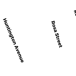
492A HUNTINGTON AV 492A
Owner Information
SALGUERO BETZEVA
492A HUNTINGTON AV #492A
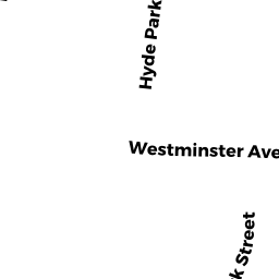
HYDE PARK, MA 02136


Property Details
492A HUNTINGTON AV 492A is classified as a Residential Condominium (Town house).
The primary structure on this property was built in 1990. There is 1,692ft2 of residential/living space within this property. This property is listed as having 6 rooms.
492A HUNTINGTON AV 492A is valued at $311,500. The land is valued at $0 and the structures are valued at $311,500.
The most recent deed for 492A HUNTINGTON AV 492A is recorded at the local registrar in Book 55569, Page 146. 492A HUNTINGTON AV 492A was last sold on Wednesday, January 6, 2016 for $9.
Assessment data from fiscal year 2020.
Flood Data
According to the FEMA National Flood Hazard Layer, this property does not appear to be in a flood zone. It may also be in an area not yet reviewed. Nonetheless, confirm this information prior to taking any action.
To view the flood hazards around this property, create a FEMA "Firmette" Map of the area around 492A HUNTINGTON AV 492A.
Broadband Internet Providers
| Provider | Type | Bandwidth (mbps) | |
|---|---|---|---|
| VSAT Systems, LLC. | Satellite | 2 | 1 |
| Comcast | Cable | 1000 | 35 |
| RCN | Cable | 500 | 20 |
| RCN | Cable | 1000 | 20 |
| Verizon New England Inc. | Fiber | 940 | 880 |
| Verizon New England Inc. | DSL | 15 | 1 |
| Viasat Inc | Satellite | 100 | 3 |
| HughesNet | Satellite | 25 | 3 |
| GCI Communication Corp. | Satellite | 0 | 0 |
Broadband service provider data from December 2020.
Adjacent Properties
- 484 HUNTINGTON AV
Single Family Residential owned by DELCID JOSE CARLOS - 496 HUNTINGTON AV
Single Family Residential owned by LIKINE ENANGA E - 957 RIVER ST
Single Family Residential owned by LAROCHE VERDIEU L ETAL - 955 RIVER ST
Single Family Residential owned by MCCOY SETH ANDREA - RIVER ST
Undevelopable Residential Land owned by PROFFITT CHERYL SHAKO - 2830 ROSA ST
Two-Family Residential owned by LINDO HERMAN - 2426 ROSA ST
Two-Family Residential owned by BRANCATELLI MARIA - 2022 ROSA ST
Two-Family Residential owned by CABAN CAROLS - 1618 ROSA ST
Two-Family Residential owned by PIERRE JOSETTE - 1214 ROSA ST
Two-Family Residential owned by VALBRUN SIMONICE